CB10 Secondary Banner

Our Course Locations

Our course locations range from the Chesapeake Bay watershed in Maryland’s Eastern Shore to the forests and streams of the Appalachian Trail in West Virginia. Learn more about the nature and history that makes these areas unique and supports an impactful and memorable experiential learning environment.

A person stands atop a rocky outcrop, seemingly a natural rock formation, with a dense forest stretching out behind them. The sky is clear and blue, suggesting a sunny day. The person appears to be enjoying a scenic view from a high vantage point, possibly a mountain or a cliff.
Topo Element
CB13 Repeatable Callout

The Appalachian Trail in Maryland and Pennsylvania

The Appalachian Trail in Maryland follows a 41-mile route along the backbone of South Mountain, a north-south ridge that extends from Pennsylvania to the Potomac River. The rich flora and fauna encountered along the Appalachian Trail supports unique learning opportunities. Instructors often bring printouts of poison ivy, ticks, birds, and tree identification guides to help foster curiosity. The AT varies in elevation across the state from 230’ to 1860’ and extends to the north into Southern Pennsylvania’s Michaux State Forest where Outward Bound students in this area will rock climb at one of two sites: Annapolis Rocks or Shaffer Rocks

The Potomac River in Maryland and West Virginia

The Potomac River is located along the mid-Atlantic Ocean coast of the United States and flows into the Chesapeake Bay. Known as “The Nation’s River”, the Potomac flows from rural West Virginia through Washington, D.C (home of our newest campus) and out in to the Chesapeake Bay. The Potomac is approximately 405 miles long, with a drainage area of about 14,700 square miles. In terms of area, this makes the Potomac River the fourth largest river along the Atlantic coast of the United States and the 21st largest in the United States. Over 5 million people live within the Potomac watershed.

Big Run State Park in Maryland

Big Run State Park originated as 50 acres of land originally developed by the Civilian Conservation Corps in the 1930s. It was expanded to 300 acres in the 1950s to encompass a newly constructed nearby reservoir. The park’s location on the Western Appalachian Plateau results in colder than average temperatures, and its remote location results in an abundance of wildlife, including great-horned owls, red-tailed hawks, black bears, bobcats, and white-tailed deer.

The park is rich in history –  in 1989 it played host to 600 athletes from over 30 countries at the Canoe & Kayak Whitewater World Championships. The park’s river was chosen due to its unique position in relation to the reservoir dam, allowing for ideal race conditions.  In 1964, a U.S Air Force crew was forced to bail out of their plane over the park during to a winter storm. Several aircrew survived despite the harsh and remote conditions, and both the aircraft’s wreckage and a memorial to the fallen crew members can be found on nearby trails.

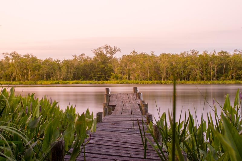
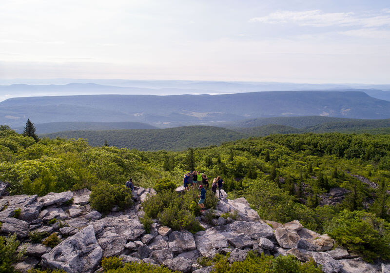
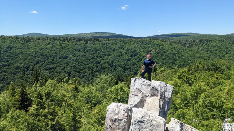
Today, the adjacent river and reservoir is restricted to non-motorized craft, and the park’s still-remote locations provides the perfect backdrop for Outward Bound crews looking to learn and grow together in the outdoors.

The Nanticoke River and Chesapeake Bay Watershed in Maryland

The Nanticoke River is a major tributary of the Chesapeake Bay on the Delmarva Peninsula. It rises in southern Kent County, Delaware, flows through Sussex County, Delaware, and forms the boundary between Dorchester County, Maryland and Wicomico County, Maryland. The tidal river course proceeds southwest into the Tangier Sound, Chesapeake Bay. The river is 64.3 miles (103.5 km) long. A 26-mile ecotourism water trail running along the River was set aside in July 2011 by Delaware state and federal officials, contiguous with a 37-mile water-trail extending through Maryland to the Chesapeake Bay.

Some of the main tributaries that feed the Nanticoke on the west-side include: Cow Creek; Jack Creek; Wapremander Creek; Marshyhope Creek; and the east side: Gravelly Fork and Broad Creek. Notable towns and communities situated along the river include Nanticoke, Bivalve, Vienna, and Sharptown in Maryland; and further north the city of Seaford, Delaware.

Dolly Sods Wilderness Area in West Virginia

The 17,371 acre Dolly Sods Wilderness in the Monongahela National Forest is part of the National Wilderness Preservation System. It is located in Grant, Randolph and Tucker Counties, West Virginia. The Dolly Sods Wilderness contains much of the Red Creek drainage and contains bog and heath eco-types, more commonly typical to southern Canada. Elevations range from 2,500 to over 4,700 feet.

Our Washington, D.C Campus at THEARC

Chesapeake Bay Outward Bound School launched Outward Bound’s first- ever campus in Washington, DC in 2020. Since then we have served over 6,000 students and educators, and 27 community partners across the district, annually. In partnership with THEARC, we look forward to establishing a physical campus and ropes course right in the heart of Ward 8. This new campus will also allow us to build critical access to our programming to improve social emotional learning across DC classrooms.

Our Baltimore, Maryland Campus at Leakin Park

The adjoining Gwynns Falls Park and Leakin Park, generally referred to as “Gwynns Falls/Leakin Park,” covers 1,216 acres  of contiguous parkland, forming the most extensive park in the city and the second largest woodland park in the United States. Gwynns Falls-Leakin is a wilderness, heavily forested and largely left in its natural state. Although surrounded by an urban environment, some areas of the park are so heavily wooded that they give the impression of wilderness. This makes the park a perfect home for our campus, which includes housing for our field staff at the historic Orianda Mansion, our administrative offices and a nine-element high-ropes Challenge Course built by Phoenix Experiential Designs.

Sign Up for Our Newsletter

+ -